Can the Indian Ocean Dipole Rescue India's Drying Monsoon in 2026?

Delhi finally saw the southwest monsoon arrive on Thursday, July 2, five days later than its normal onset date of June 27. The India Meteorological Department (IMD) announced that monsoon has also advanced across most parts of Haryana and Punjab, remaining parts of Uttar Pradesh, and additional areas of Rajasthan, Madhya Pradesh, and Gujarat.
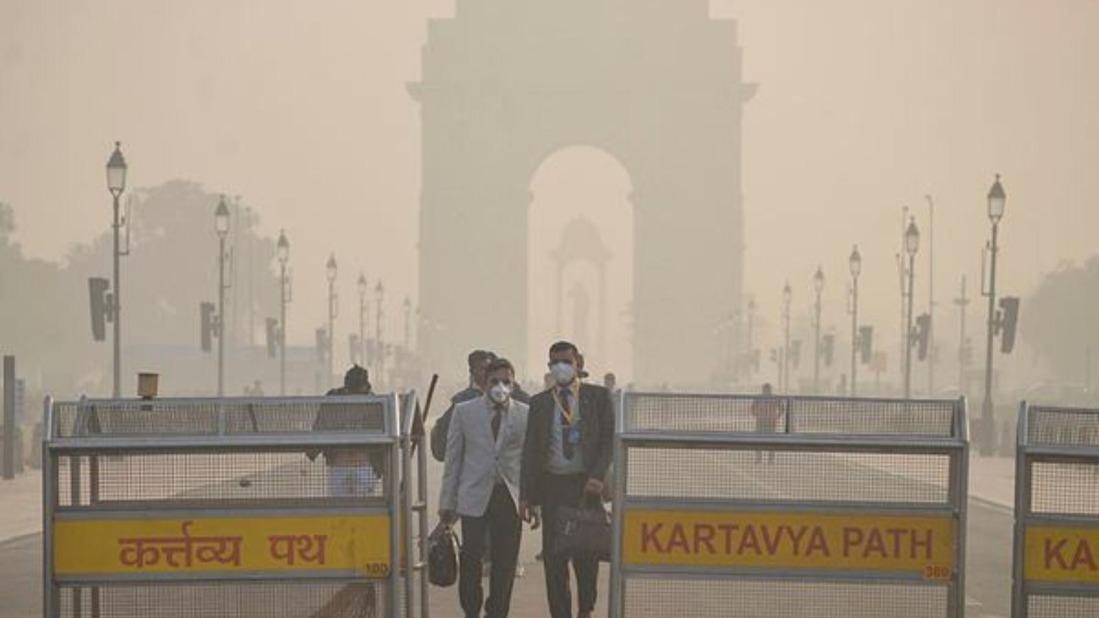
This year, the monsoon season opened in June with a rainfall shortfall of roughly 40% against the nationwide long-period average. Central, eastern, and north-eastern states were the worst hit, with over three-quarters of districts in these regions reporting deficient or no rain.
The steep rainfall deficit has evoked concerns, particularly with strengthening El Niño conditions. But meteorologists say that a lesser-known natural phenomenon called the Indian Ocean Dipole (IOD) could still offer relief later in the season. Here is an explanation.
According to IMD's regional bulletin issued by the Thiruvananthapuram Meteorological Centre on June 26, El Niño conditions are already present over the equatorial Pacific Ocean and are expected to strengthen further as the monsoon season progresses. El Niño refers to the natural climate phenomenon that sees the central and eastern Pacific Ocean turn warmer than usual. This shifts massive amounts of heat into the atmosphere and disrupts global weather systems, which also leads to weaker monsoon rainfall over India.
The same update reported that El Niño was already underway in the Pacific. The Niño3.4 index — used to monitor and define El Niño and La Niña events by measuring anomalies in sea surface temperatures — said that temperatures were already well above the threshold used to define El Niño, and that it was continuing to warm.
The bulletin also tracked the Madden-Julian Oscillation (MJO): a travelling pulse of rain-bearing clouds and wind that moves eastwards around the tropics, roughly every 30 to 60 days, strengthening or suppressing rainfall depending on where it sits at a given time. The MJO's movement is monitored in eight geographical phases. As of June 26, the MJO was in Phase 5 and was forecast to move into Phases 6 and 7 over the following two weeks.
The IOD is an ocean-atmosphere interaction confined to the Indian Ocean, playing out between the Indonesian and Malaysian coastline in the east and the African coastline near Somalia in the west. This phenomenon oscillates between three phases: positive, negative, and neutral. In a positive IOD, the western Indian Ocean warms relative to the east, pushing moisture-laden winds towards east Africa and the Indian subcontinent, boosting rainfall in those regions while bringing drought-like conditions to Indonesia and Australia. A negative IOD reverses this pattern, cooling the west and warming the east. In a neutral IOD, there is no significant difference between the eastern and western sides and thus no specialised impact on regional climatic conditions.
A strong positive IOD helped offset El Niño's impact on the monsoon in 1997. In 2019, a late developing but powerful IOD event compensated for a roughly 30% June rainfall deficit that year — a weak El Niño was also partly to blame.
A June 27 update by Australia's Bureau of Meteorology described the IOD as currently neutral, with a positive IOD likely during the southern hemisphere's winter-spring period (June to November). The update also noted that forecasts vary considerably. Whether a positive IOD will develop strongly enough to counter El Niño's impact remains uncertain, but meteorologists are watching closely.