Pune Landslide: Satellite Data Contradicts Official Distance Claim, Shows 16-Metre Gap
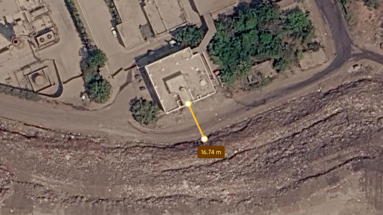
Satellite imagery has revealed that the distance between a collapsed garbage mound and the office building it struck in Pune was approximately 16–17 metres, contradicting the 30-metre distance previously stated by municipal officials.
The Pimpri Chinchwad Municipal Corporation (PCMC) had earlier claimed that the mound was 30 metres away from the office of the waste-to-energy plant operated by Antony Lara Renewable Energy Pvt Ltd. However, Google Earth satellite images from March 2026, analysed using a distance measurement tool, show the gap to be about 16.76 metres.
On July 8, following heavy rains, a large section of the garbage mound at the Moshi landfill collapsed onto the plant's office building, causing a partial collapse. Nine people were rescued on the first night of operations, and one person was declared dead after being pulled from the rubble the next morning. As of Friday evening, eight people remained trapped inside, with rescue operations ongoing for over 55 hours.
The discrepancy in the distance measurement has raised questions about the accuracy of information provided by the civic body. Neither PCMC nor the company have commented on the satellite data findings.