Monsoon Advances: Mumbai Under Red Alert as Heatwave Persists in North and Central India
The India Meteorological Department (IMD) has forecast further progress of the southwest monsoon into parts of Gujarat, Maharashtra, Chhattisgarh, and Madhya Pradesh over the next two to three days. The remaining parts of Jharkhand and Bihar, along with sections of Uttar Pradesh, are expected to come under monsoon coverage during the subsequent three to four days.
The weather agency has also predicted widespread heavy to very heavy rainfall across the west coast, Northeast India, and the Sub-Himalayan regions of West Bengal and Sikkim through the week. Meanwhile, heatwave conditions continue to affect parts of northern and central India.
Mumbai weather ‘Red’ alert
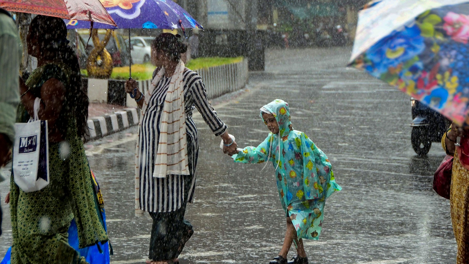
Mumbai and Palghar have been placed under a ‘Red’ alert by the IMD as intense monsoon continues. An ‘Orange’ alert remains in force for Thane, Raigad and Sindhudurg districts. The IMD forecasts generally cloudy skies over Mumbai, with moderate to heavy rainfall accompanied by thunderstorms and lightning likely over the next 48 hours. Authorities have advised residents to be cautious, as heavy rain has caused waterlogging and disruptions in low-lying areas.
Daytime temperatures in Mumbai are likely to hover around 29°C, while the minimum temperature is expected to remain near 25°C. Weather officials have warned of moderate to intense spells of rain in both the city and suburban areas. Across the Konkan region, light to moderate rain and thundershowers are expected at most places, while South Konkan is likely to receive moderate to heavy rainfall through June 28. Parts of Madhya Maharashtra and Marathwada are also forecast to experience rain and thunderstorms, with isolated pockets likely to receive heavier showers.
Delhi weather today
The national capital continues to experience hot conditions. Weather officials have forecast partly cloudy skies and the possibility of thundery development during the afternoon and evening on Wednesday. From June 26 onwards, Delhi is likely to witness very light to light rainfall accompanied by thunderstorms, lightning, and gusty winds of 20-30 kmph, with gusts reaching up to 40 kmph during the afternoon and evening hours.
Maximum temperatures in the city are expected to remain between 39°C and 41°C throughout this week, while minimum temperatures may range from 26°C to 29°C. The IMD noted that maximum temperatures could rise by 1-2 degrees Celsius over the next 24 hours before stabilising. Delhi recorded light rain, thunderstorms, and strong winds on Tuesday, bringing brief relief from the heat. Gusty winds touched 91 kmph at Palam and 56 kmph at Safdarjung during a squall event on Monday afternoon. Despite the rainfall, maximum temperatures remained around 40-41°C across most parts of the capital, while minimum temperatures stayed between 25°C and 27°C.
IMD monsoon update
According to the IMD, a seasonal trough extending from north Rajasthan to Bihar via Uttar Pradesh remains active. Meteorologists say these systems, coupled with strengthening monsoon currents, are likely to enhance rain across western and central India while triggering thunderstorm development over parts of northwest India in the coming days.
Arabian Sea and coastal weather updates
The weather department has issued a wind warning for fishermen and maritime operators, cautioning against rough sea conditions over several parts of the Arabian Sea. Squally winds reaching speeds of 45-55 kmph, gusting up to 65 kmph, are expected along and off the Somalia and Oman coasts and over parts of the southwest, west-central, and northwest Arabian Sea. Along the Konkan-Goa and Karnataka coasts, wind speeds of 40-50 kmph, gusting up to 60 kmph, are likely. Similar conditions are expected over the Gulf of Mannar.
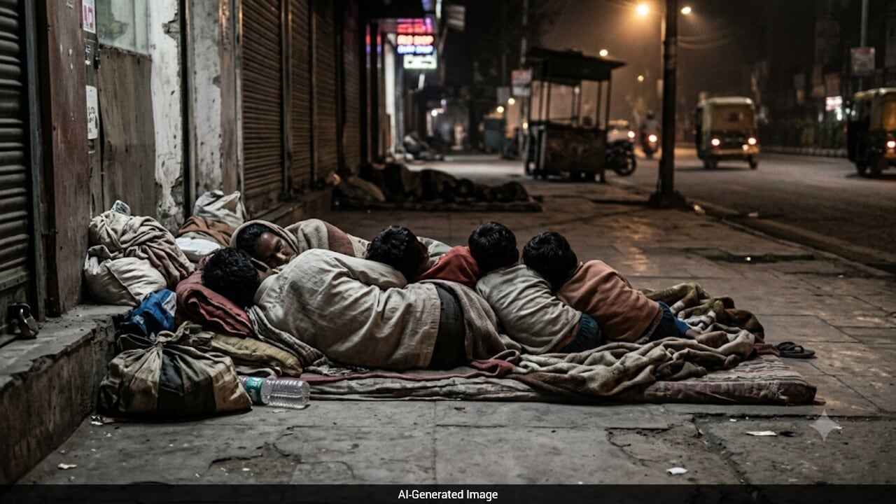
Heatwave
Even as the monsoon advances, heatwave conditions are expected to persist in parts of northern and central India, with maximum temperatures remaining above normal in some areas.