Southwest Monsoon Progress Stalls: Rainfall 38% Below Average in June 1-17
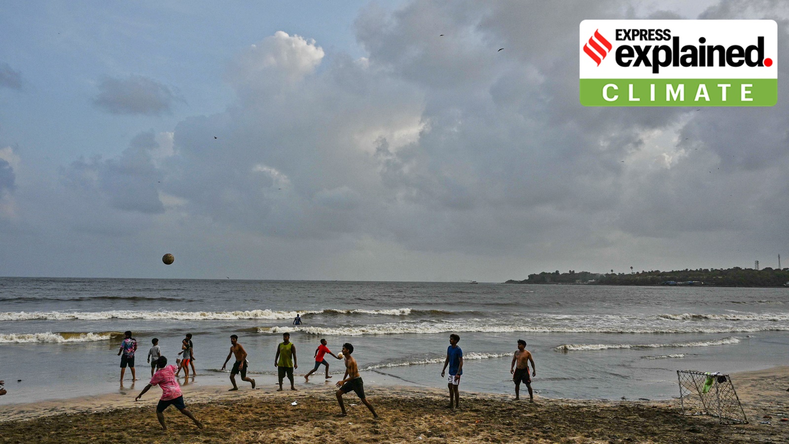
The southwest monsoon season officially began on June 1, but its progress has been sluggish. Between June 1 and 17, all-India rainfall stood 38% below the long-period average, according to the India Meteorological Department (IMD).
The June-September southwest monsoon brings over 70% of India's annual rainfall. Climatologically, the monsoon arrives over the Andaman Sea in the third week of May and advances into the mainland through Kerala, generally by June 1. It then advances in surges, reaching north Uttar Pradesh, Delhi and neighbouring areas by the end of June, and covers the entire country by July 15.
This year, the monsoon onset over Kerala occurred on June 4, three days later than normal. It progressed for four consecutive days, advancing early into parts of the west coast, including Karnataka and Goa. However, the onset was delayed over most regions in northeast India. Rainfall intensity picked up over Kerala, southern Karnataka, Tamil Nadu, Lakshadweep and the whole of northeast India in early June, but did not sustain.
As of June 10, southwest India recorded a rain surplus of 8%. However, the monsoon's advance has since stalled, particularly over Maharashtra. The latest advance was on June 8 over parts of south Konkan and adjoining areas of south Madhya Maharashtra. The Arabian Sea branch of the monsoon is making slower progress compared to the Bay of Bengal branch, which has covered regions up to Koraput, Phulbani, Ranchi, Jamui and Muzaffarpur as of June 17.
After June 8, the monsoon advance continued mainly along eastern India regions. On June 15, it advanced into the remaining parts of Andhra Pradesh, West Bengal, Telangana, Odisha, Jharkhand and Bihar.
Several factors have caused the stall over Maharashtra. First, monsoonal winds from the Arabian Sea have weakened, reducing moisture transport towards the Maharashtra coast and adjoining interior regions. Stronger northerly or northwesterly dry winds dominate the region and act as barriers to the weak monsoonal winds. These weak flows lack a strong surge from the Arabian Sea, which typically drives moisture and causes widespread rainfall.
Second, the cross-equatorial wind flow over the western Indian Ocean and Arabian Sea has weakened. These winds pump in moisture, aiding the southwest monsoon's advance.
Third, the monsoon requires support from other weather systems, such as low-pressure areas, cyclonic circulations, or an offshore trough along the west coast. All of these are currently absent.
Finally, global weather factors like the Madden-Julian Oscillation (MJO) are not in a favourable phase. The MJO is an eastward-propagating wind and cloud band originating in the Mediterranean Sea. When in a favourable phase, it causes rainfall over India.
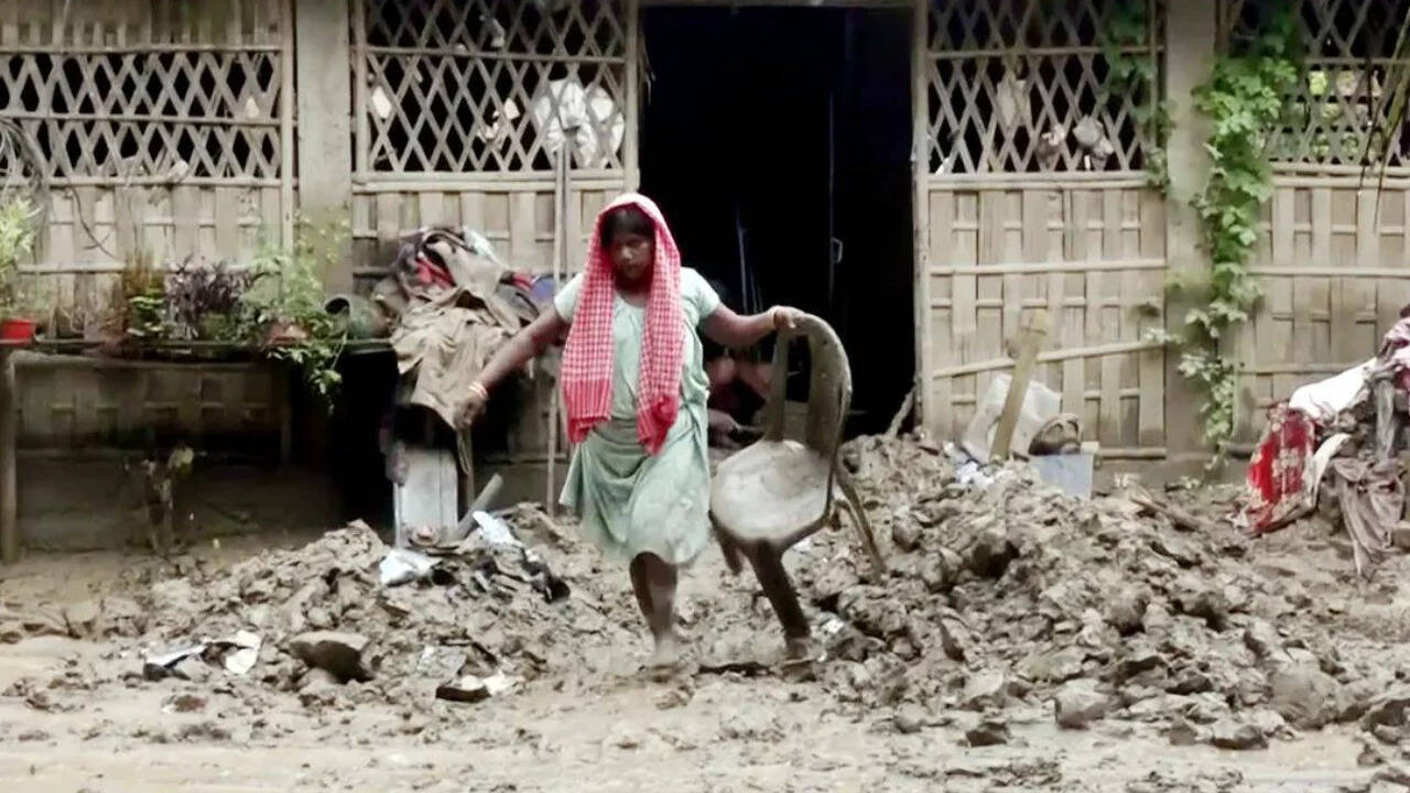
As a result, the Arabian Sea branch of the monsoon is sluggish. Maharashtra, in particular, is bearing the brunt, with rainfall in many regions falling into the 'large deficient' category (a deficit of 60% to 99% below average, or more).
The IMD has not provided a clear timeline for when the monsoon might resume its advance. It is likely to depend on the formation of new weather systems and the strengthening of monsoonal winds. Until then, the stall is expected to continue.