Monsoon Week Ahead: Heavy Rain in East and Central India, Dry Spell in South and West
With the monsoon season at its peak, the India Meteorological Department (IMD) has released its weekly weather forecast, highlighting a sharp divide across the country. While eastern and northern states are likely to witness heavy rainfall in the coming days, western and southern regions are expected to remain dry, according to the latest projections.
An infrared satellite image released by the IMD shows thick cloud cover over Central India, East India — including Odisha, West Bengal, and Chhattisgarh — and along the eastern coast into the Bay of Bengal. This pattern is attributed to a low-pressure area currently situated over Jharkhand and its neighbourhood.
A low-pressure area is a meteorological system where atmospheric pressure is lower than the surrounding regions, leading to rising air, cloud formation, and precipitation. The IMD has indicated that this system is likely to move nearly west-northwestwards by Wednesday morning, which will influence rainfall distribution over the next few days.
Under the influence of this system, isolated heavy to very heavy rainfall is expected over East Uttar Pradesh, East Madhya Pradesh, and Chhattisgarh on Tuesday. In addition, isolated heavy rainfall is likely over Bihar and Uttar Pradesh during the next three days, the IMD forecast reads.
Central India will remain in focus for the next several days. Widespread rainfall is expected over West Madhya Pradesh between Tuesday and Wednesday. Subsequently, isolated to scattered showers are likely between August 27 and 31. In East Madhya Pradesh, heavy rain is expected to continue until August 29, before tapering off to scattered, isolated events. Chhattisgarh is also expected to experience heavy rainfall until Monday, August 31.
Meanwhile, the forecast for Northwest India indicates widespread showers over Uttarakhand until August 31, while East Uttar Pradesh will see rainfall until August 27. Other parts of the region may witness variable cloud cover and periodic showers, though the intensity is likely to be lower.
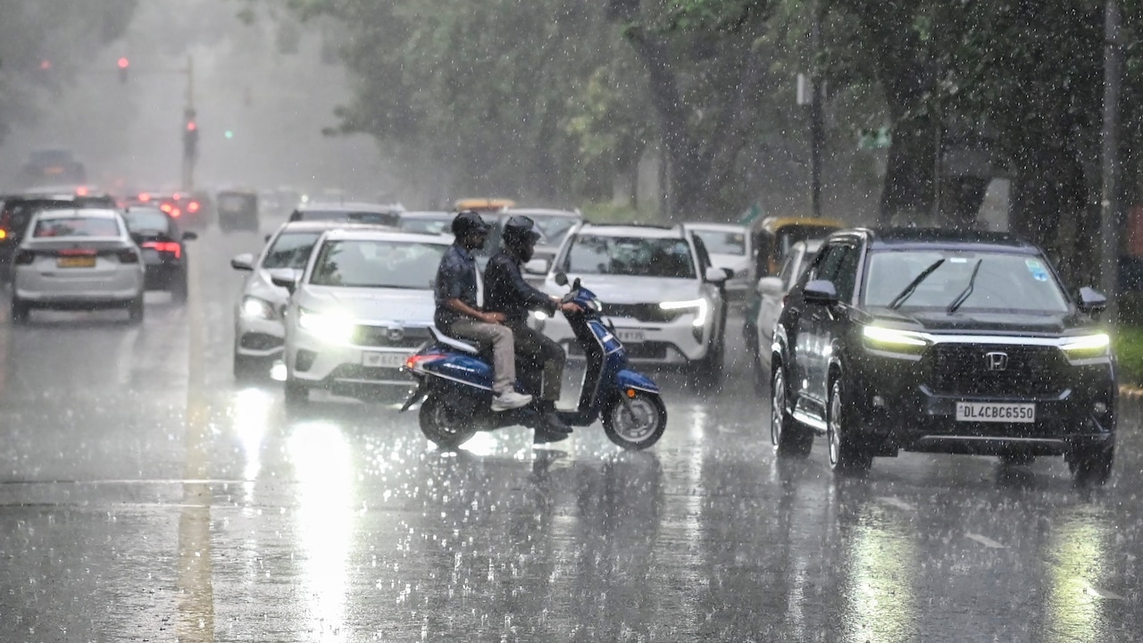
In Delhi-NCR, the heavy rain that lashed the capital on Monday caused waterlogging and traffic disruptions, with several roads flooded and people wading through waist-deep water in some areas. The capital witnessed moderate rain on Tuesday as well. However, residents are expected to experience light to very light rain over the next three days, occurring between morning and noon under a generally cloudy sky. The IMD has cautioned that such rainfall events can be highly localised, meaning some areas may receive significantly more rain than others.
The southern and western parts of the country, in contrast, are likely to see subdued rainfall activity over the next one week. This prolonged dry spell could have implications for local agriculture and water resources, though the IMD has not issued any advisory in its current bulletin.
The monsoon is a critical weather phenomenon for India, as it delivers about 70% of the country's annual rainfall and supports the kharif crop season. Accurate and timely forecasts from the IMD are essential for farmers, municipal authorities, and disaster management teams to plan their activities. The department regularly updates its predictions based on evolving atmospheric conditions, and the public is advised to follow the latest bulletins for accurate and region-specific information.
As the week progresses, all eyes will be on the movement of the low-pressure system, which will determine whether the heavy rainfall belt shifts or persists. While the current forecast suggests a clear divide between wet and dry regions, weather systems can change rapidly, and the IMD will continue to monitor the situation closely.